The Power of Industrial GIS in Business Transformation
Unleashing the Power of GIS in Industrial Business Transformation
Industrial Geographic Information Systems (iGIS) are tailored GIS solutions designed for application in industries such as manufacturing, real estate management, and beyond. This adaptation extends to all processes within the supply chain, encompassing maintenance and life cycle management. By incorporating geospatial components into business data streams, iGIS has the potential to revolutionize how organizations approach their operations, offering innovative perspectives and capabilities that have yet to be fully explored.
The Current Landscape
Traditionally, GIS has been utilized for large-scale projects, mapping and analyzing objects in the real world, from the outer borders of facilities to roads and pipelines. The shift towards digital twin representation has gained momentum, driven by market trends and technological advancements such as real-time data streams, indoor positioning systems, and Ultra-Wideband (UWB) techniques for Real-Time Location Systems (RTLS) solutions. This transformation marks a departure from the conventional use of GIS as a mere mapping tool to its emerging role as a facilitator of digital twins.
The Vision
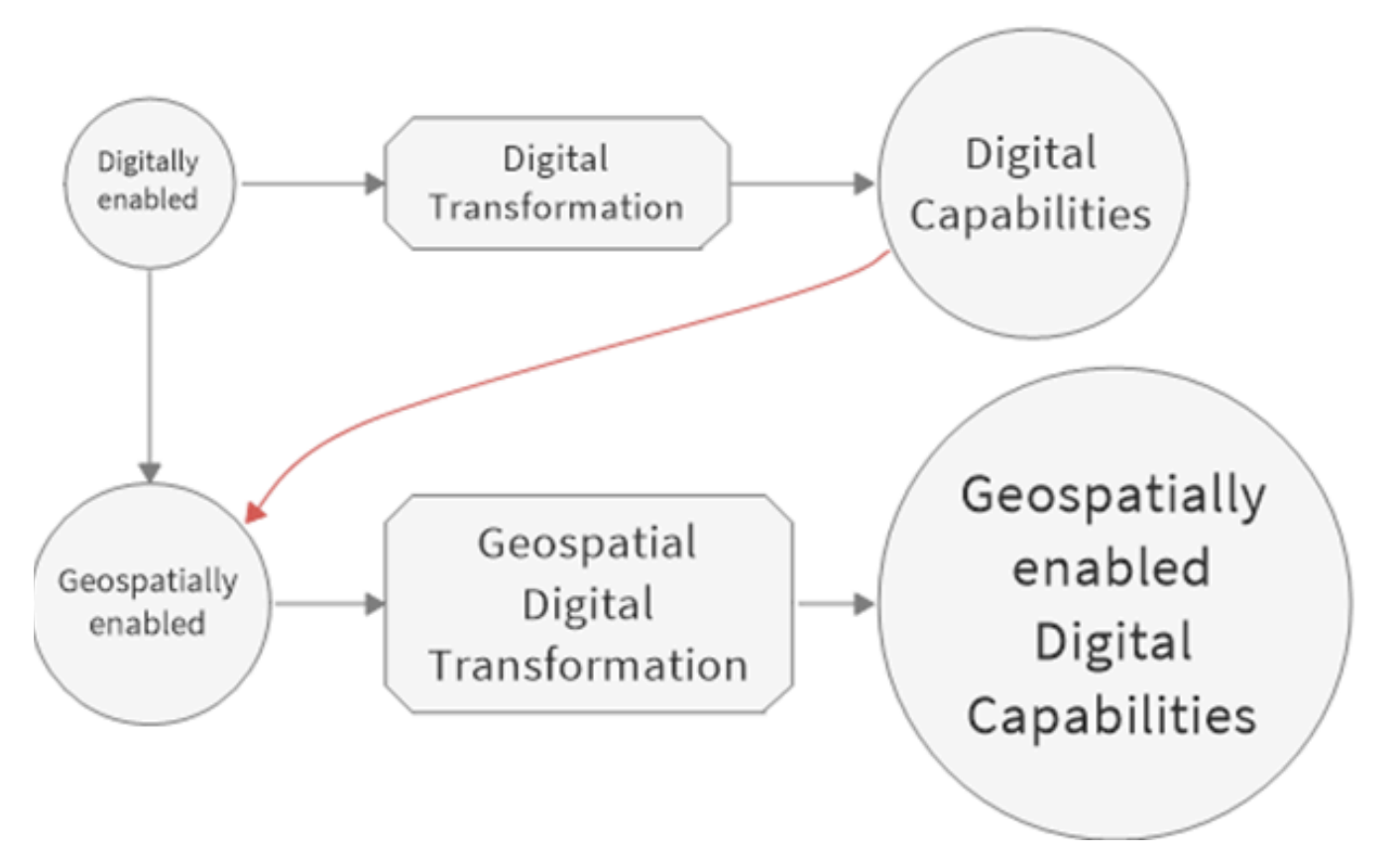
The proposed evolution involves elevating industrial business processes by integrating geospatial components and creating geocoded digital objects for visual representation. This shift enables the management, control, analysis, and orchestration of business and technology processes through GIS. This approach contrasts with past practices where maps were added without the essential geospatial capabilities. The goal is to create a modern, visual, interactive, and monitored work environment, even in small-scale projects within specific areas of a facility or on a campus or site.
Technological Integration
Modernizing work processes entails making them visual, interactive, and monitored in both space and time. The integration of geospatial capabilities facilitates this evolution, allowing IoT platforms to become geospatially enabled and transforming data-driven business processes into geodata-driven ones. Visualization, operations management, and monitoring of space, time, and other dimensions become seamless. The key lies in building an architecture that inherently supports this approach, rather than simply integrating GIS and/or BIM within maintenance or other specific domains in manufacturing industries, workplace management, facility and asset management, and similar fields. Integrating geospatial components into digital transformation roadmaps can also serve as a key differentiator in any organization's digitalization strategy.
Business Impact
For companies committed to staying ahead of the curve, the ability to transform business operations through geospatial intelligence is becoming increasingly important. The integration of iGIS components is a strategic move that provides tangible evidence of an organization's commitment to innovation and operational excellence. Beyond efficiency gains, it is ultimately key to achieving sustainability goals aligned with broader business objectives.
Ready to explore what iGIS could do for your business? Get in touch to discuss how geospatial transformation can be tailored to your industry and operations.